How Do We Measure Plate Movement?
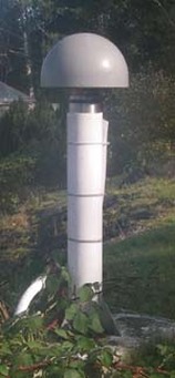
This is an image of a G.P.S. reciever.
We measure how much the tectonic plates move using a G.P.S. (which stands for Global Positioning System), satellites and G.P.S recievers. The satellites completely circle the earth every 24 hours, they hover about 20,000km above the earth. Using properly measured distances from at least three GPS satellites, the exact location of a G.P.S. receiver on earth can be found, telling scientists exactly how much the reciever has moved and in which direction. This method is called triangulation. Scientists measure movement along mid ocean ridges using Submarines.
